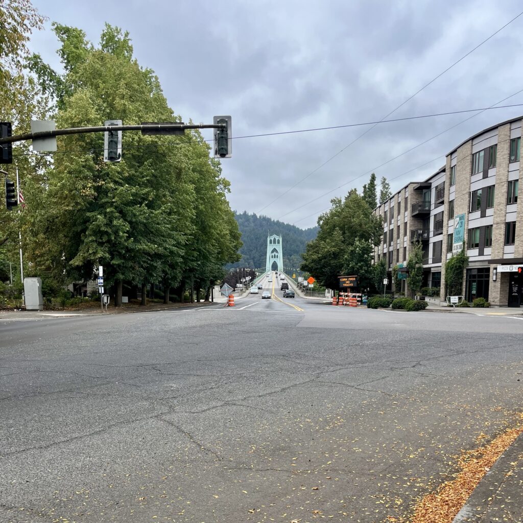
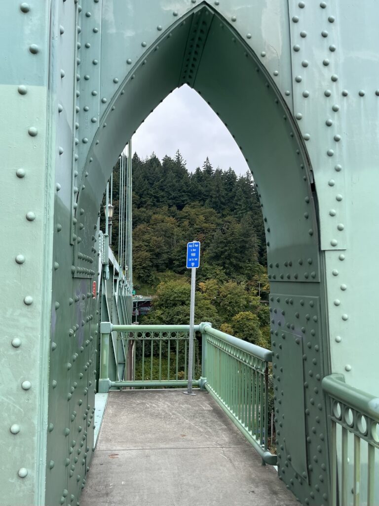
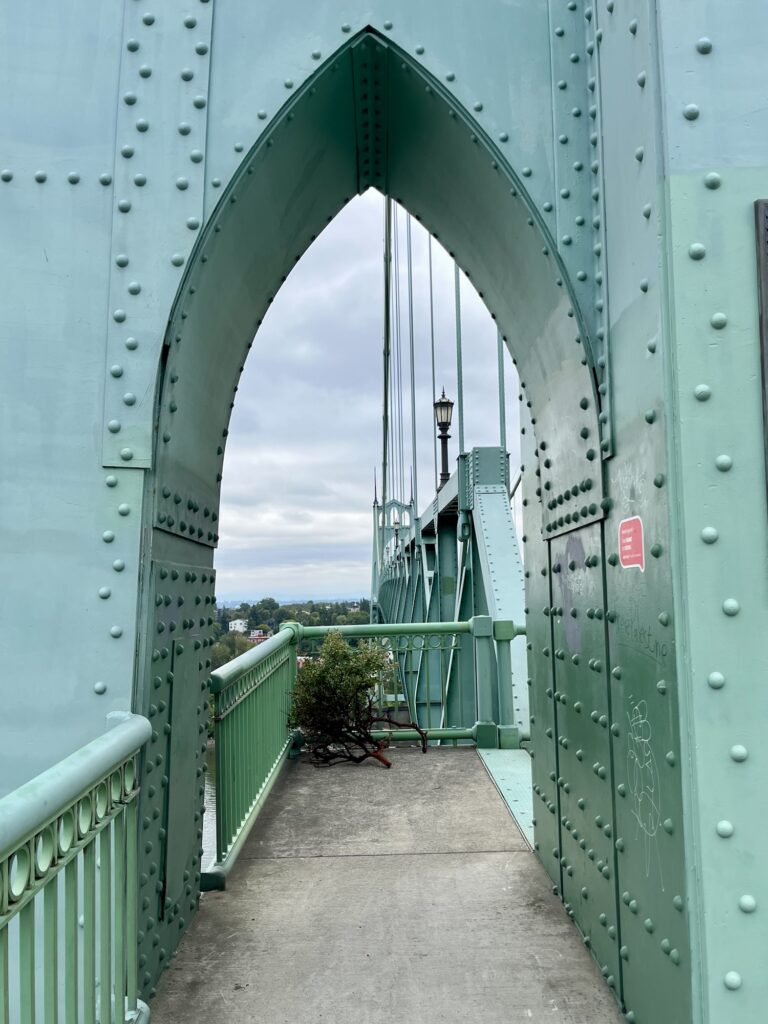
Last weekend my family and I went to Hood River in Oregon for an event. On the way back they dropped me off in Portland, in the St. Johns neighborhood where my pals Shannon and Isaac live.
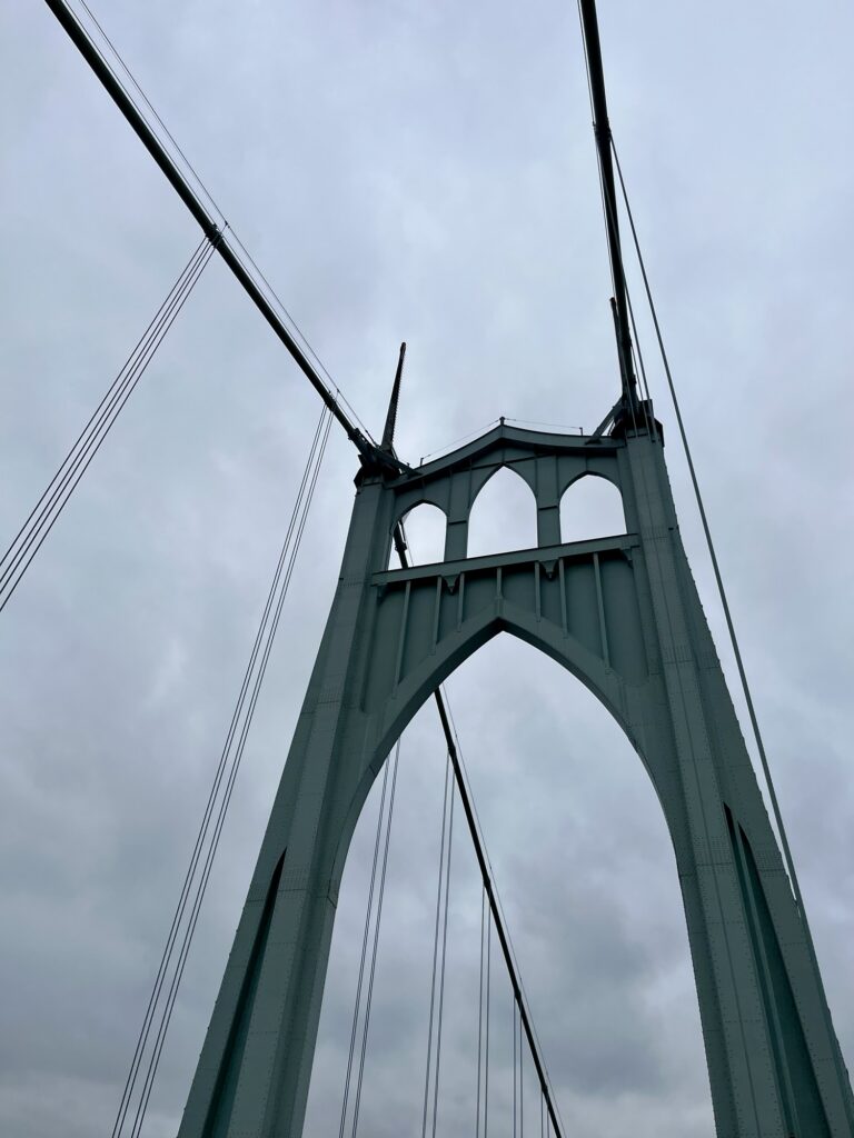
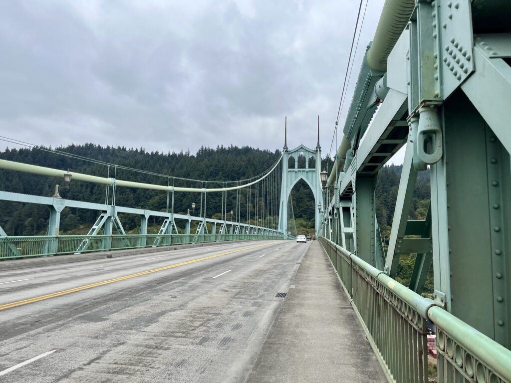
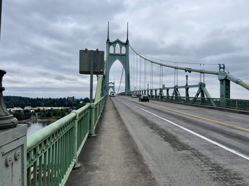
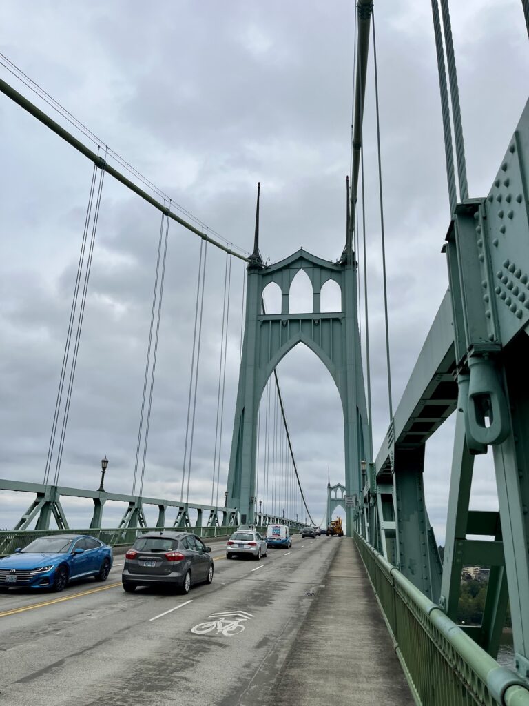
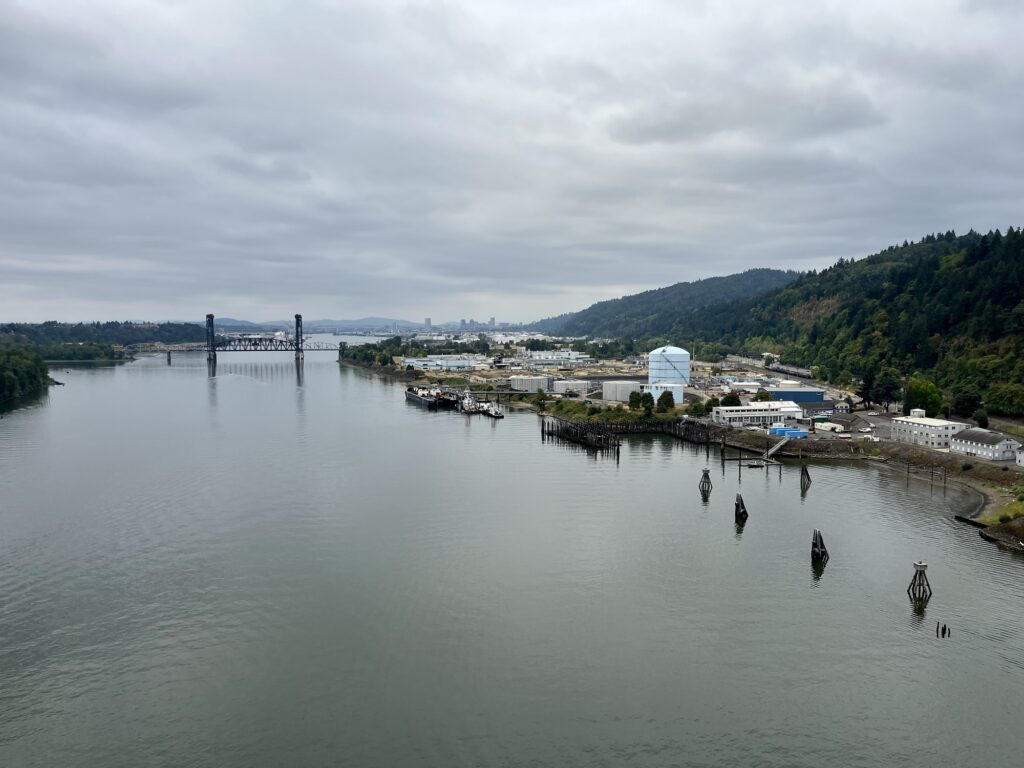
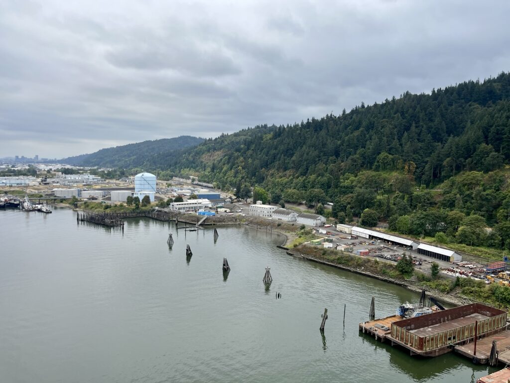
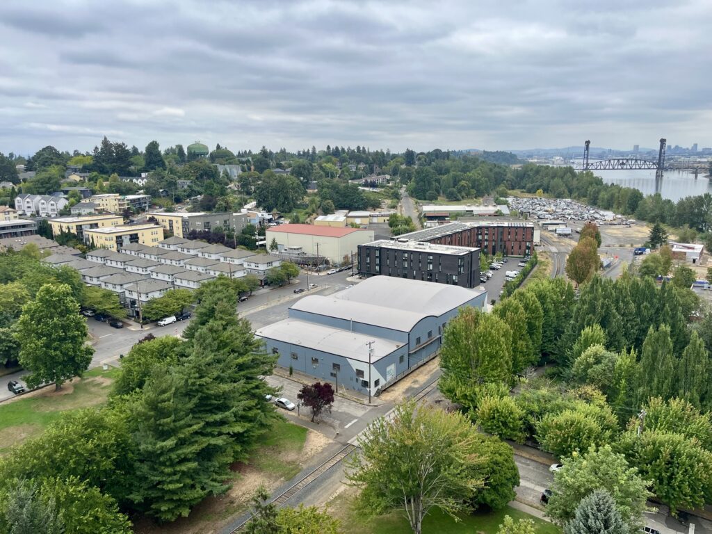
I could write about St. Johns’s gritty charm but this post is about a bridge.
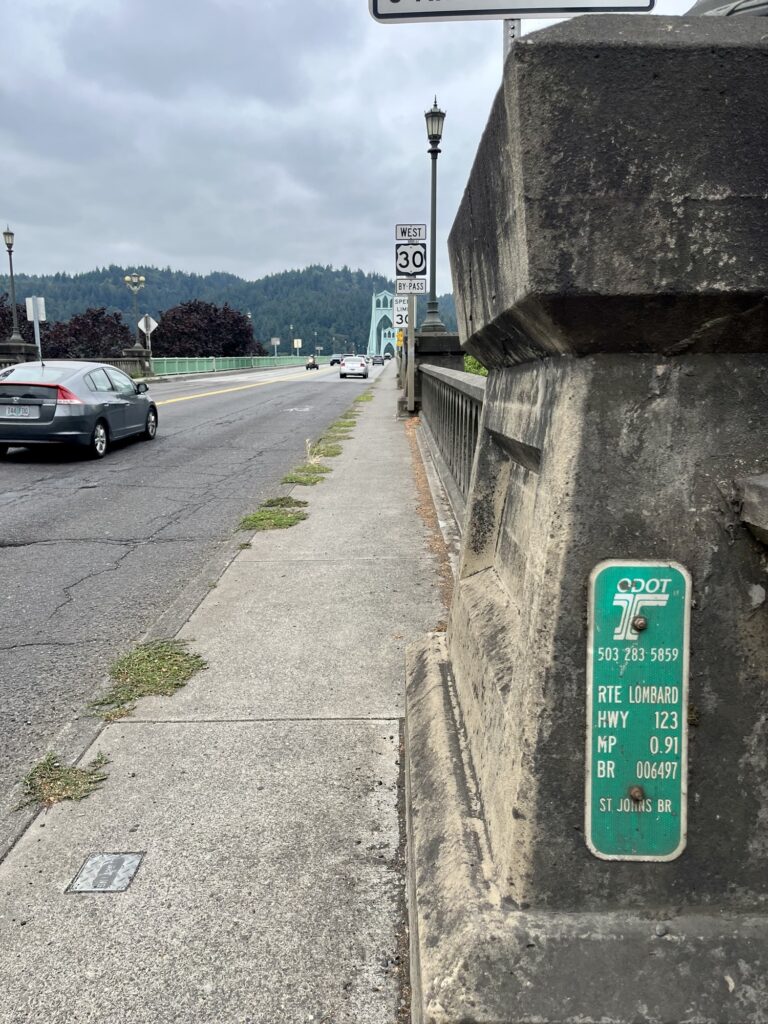
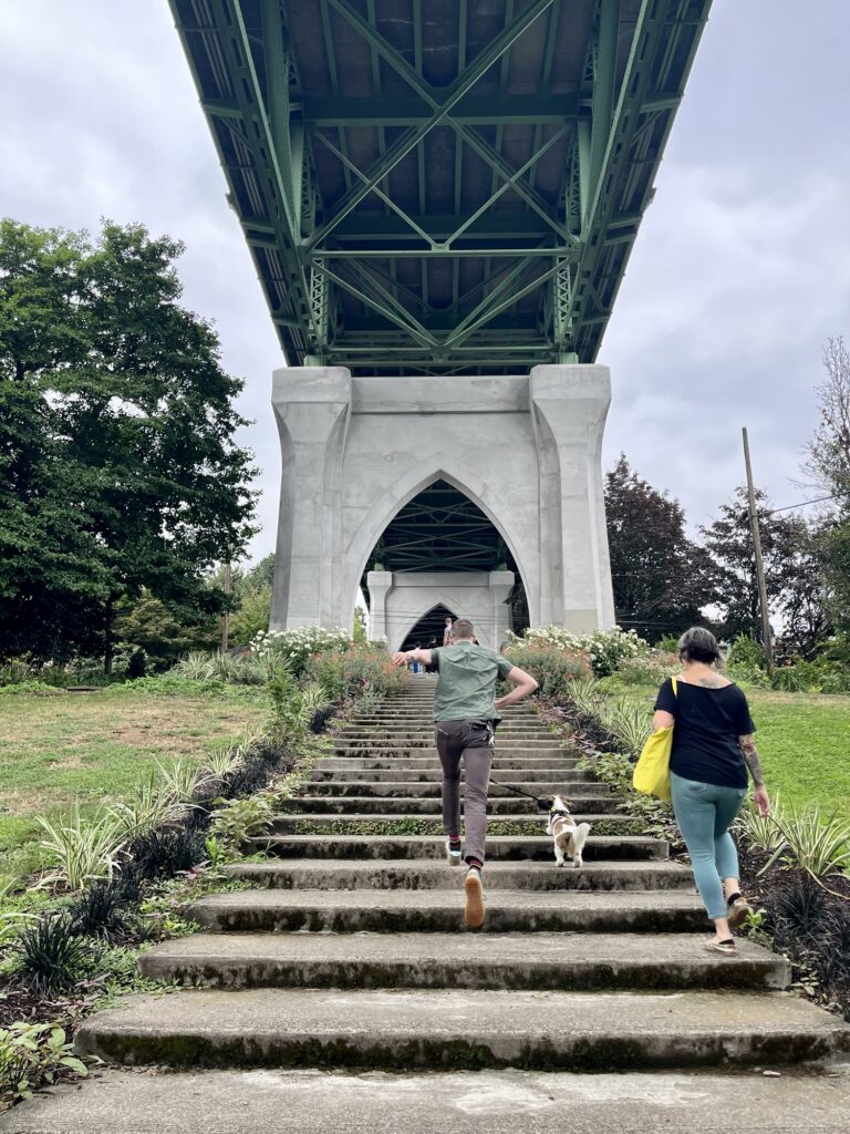
Walking on the way to Shannon’s I saw it and had to cross it.
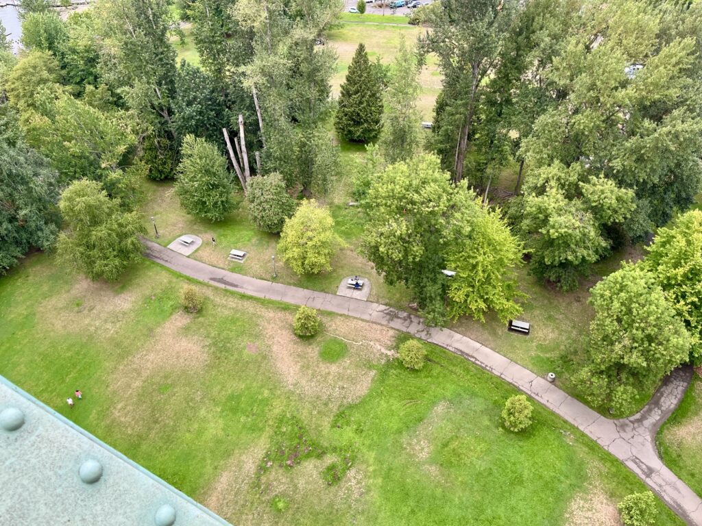
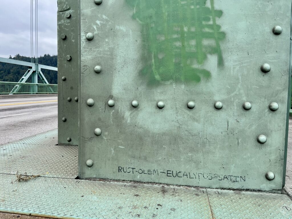
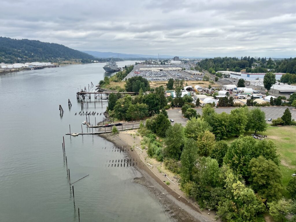
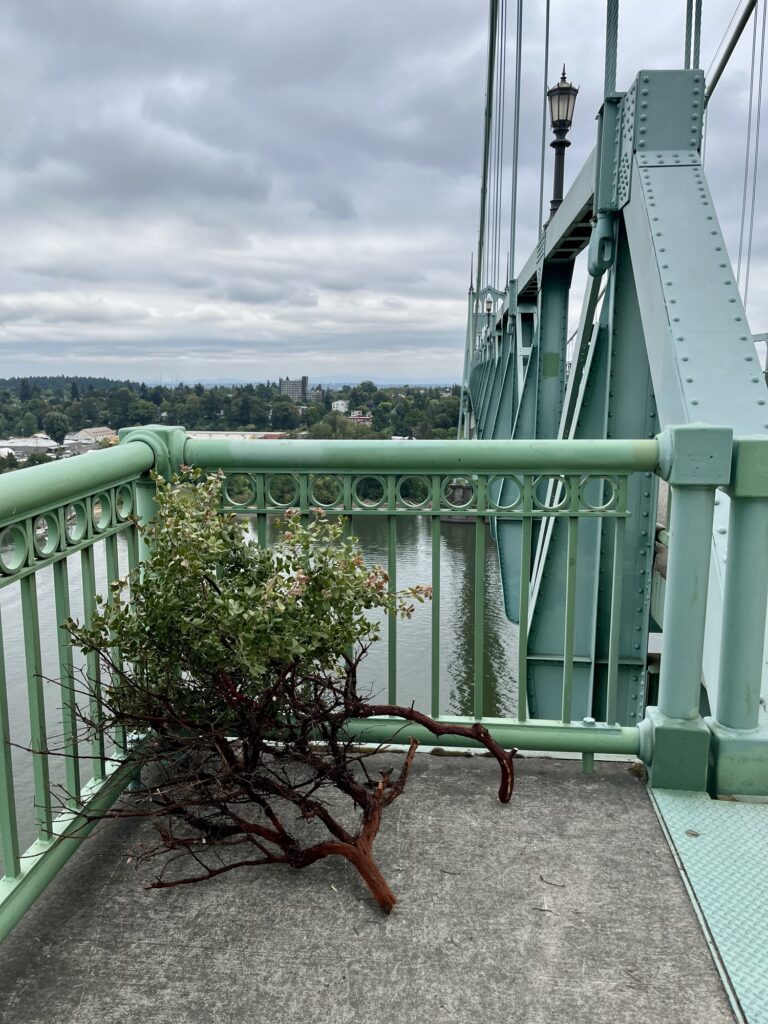
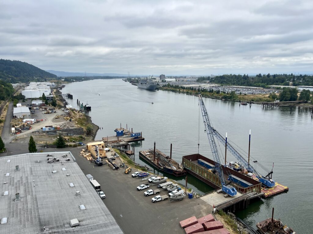
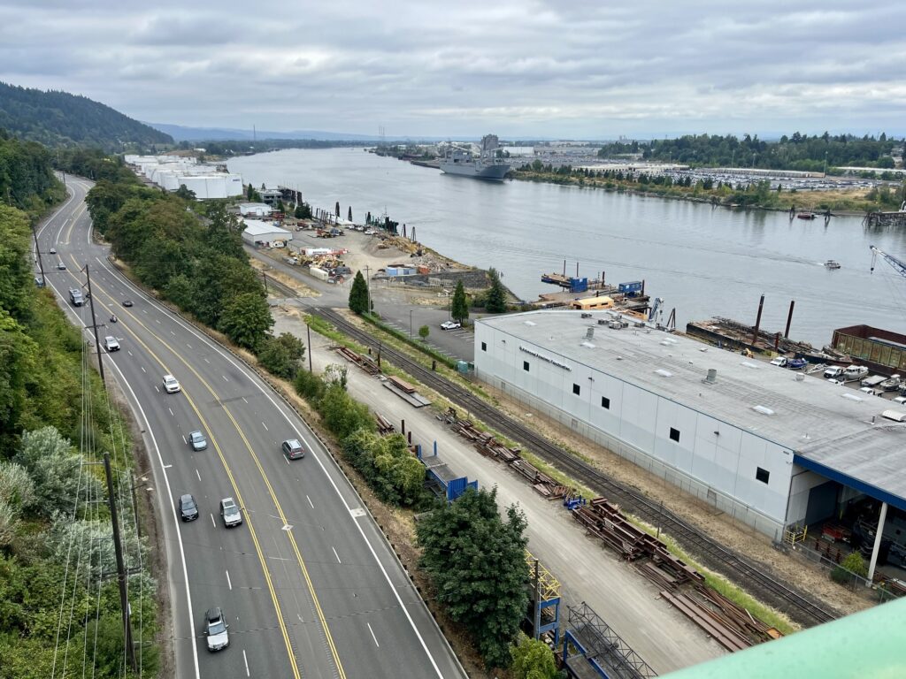
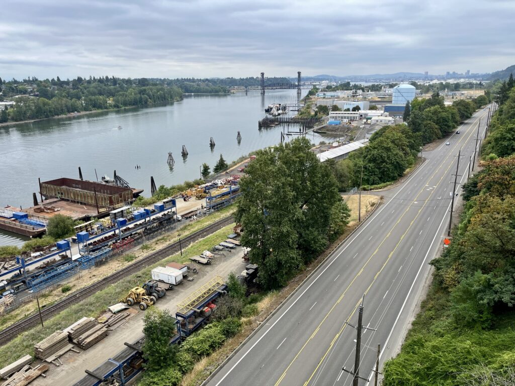
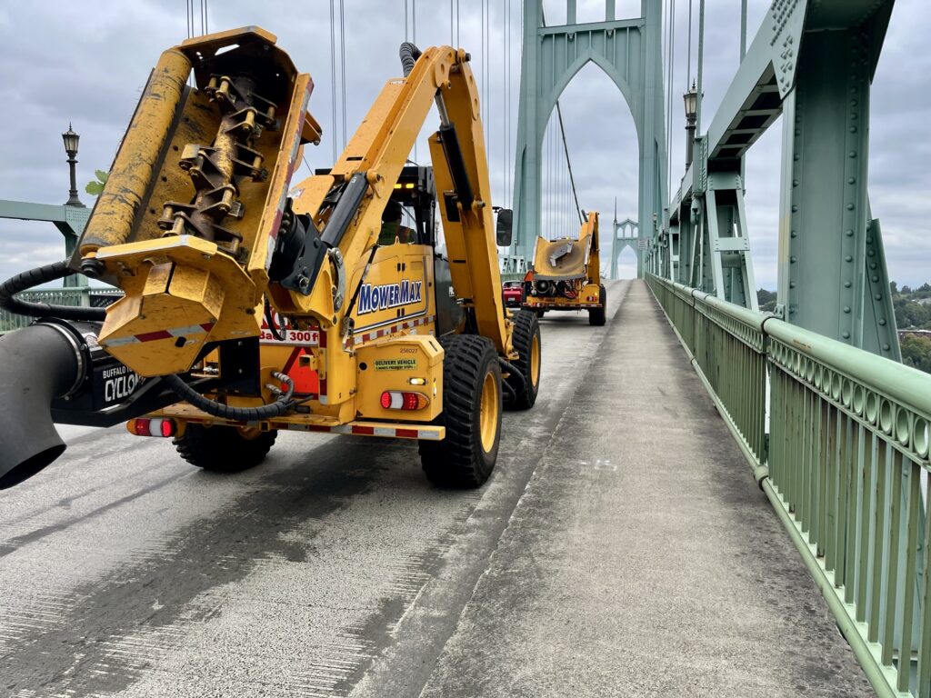
I did and took pictures:
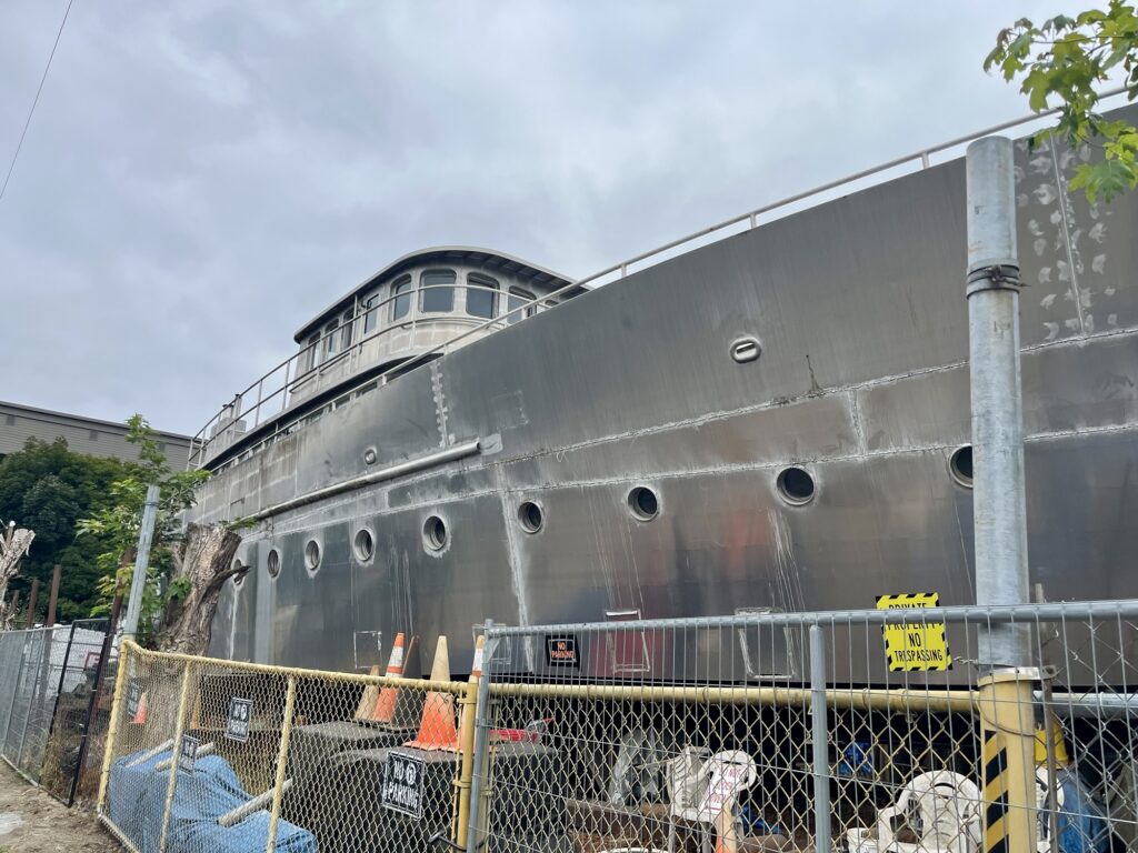
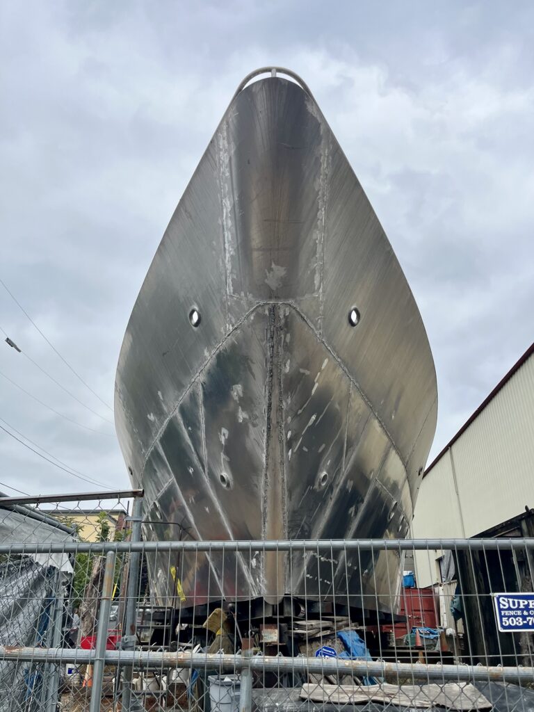
In that last photo you can see there’s a ship stranded on land with no apparent access to the water. My friends took me there later and we saw it up close:
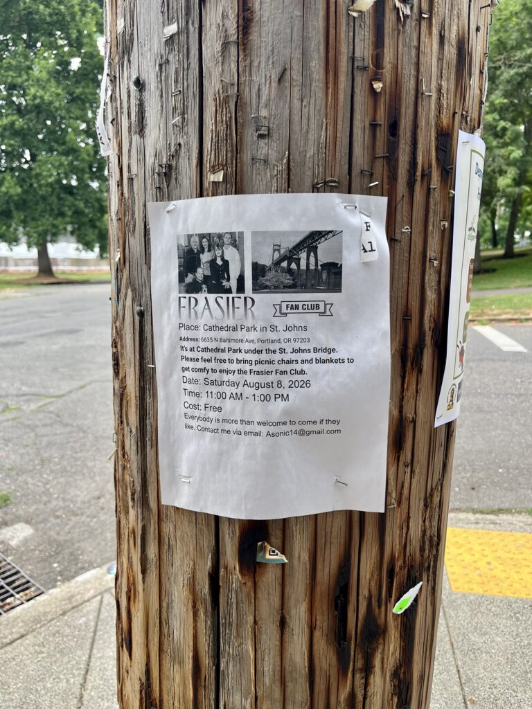
Under the bridge on the St. Johns side there’s a park. Sadly we missed the Frasier club meeting:
I have a hard time remembering what hikes I’ve been on in western Washington. They usually start with trees and often end in fog, and I don’t pay much attention to the overall geography and topology of the many trails we have around here. I just go, usually with friends who do pay attention to that stuff. But what if I documented hikes here on this website? I might understand and remember them better. So here’s my first hike report.
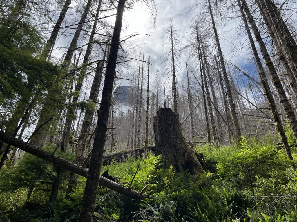
A couple of weekends ago, Saturday July 25, 2026, my family and another family we’re friends with completed a one night backpacking trip to Barclay Lake, which is off US-2 in the north Cascades.
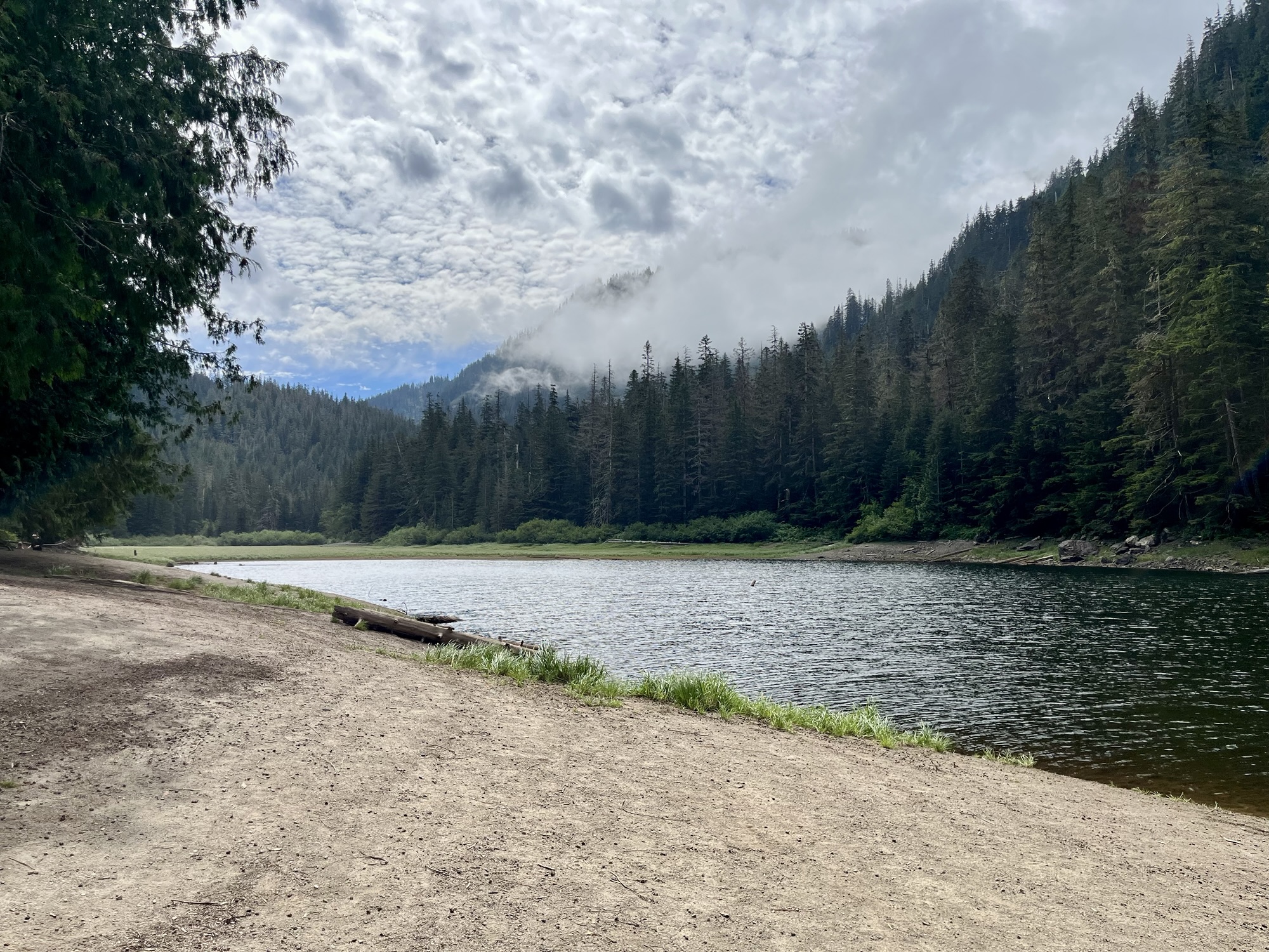
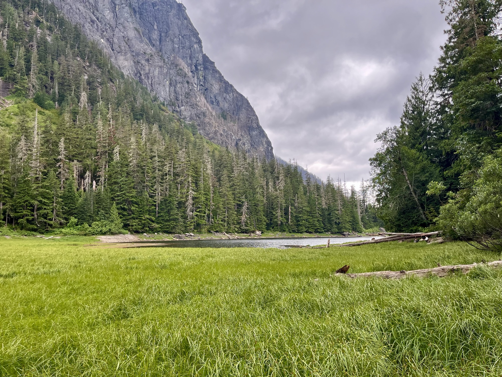
Barclay Lake, Snohomish County, Washington
I’m fairly certain this was my first time at Barclay Lake. We’d originally planned to go to a different lake not far from Barclay but a nearby wildfire led us to switch it up last minute.
Getting there was fairly easy from Seattle. You go to Monroe then take US-2 past Index and around mile marker 41 turn left. We didn’t leave particularly early, like 9am? Traffic on Saturday was not congested but it was busy, and it can be a bit treacherous getting on and off the highway here.
Anyway, we followed a fairly-but-not-too-rough dirt/gravel road for 3 miles or so to the crowded trail head. We were driving a Subaru Forester and a VW ID3 AWD, but we would have been ok in 2WD sedans.
Many cars were at the trailhead, both in the small parking lot and parked for some distance down the road. Lots of folks were here for camping or day hikes, and we were prepared to bail if we couldn’t find a campsite.
This flexibility was possible because the hike is only 2.2 miles long and pretty easy. We got our packs on and took off: 4 adults and 2 8-year-olds.
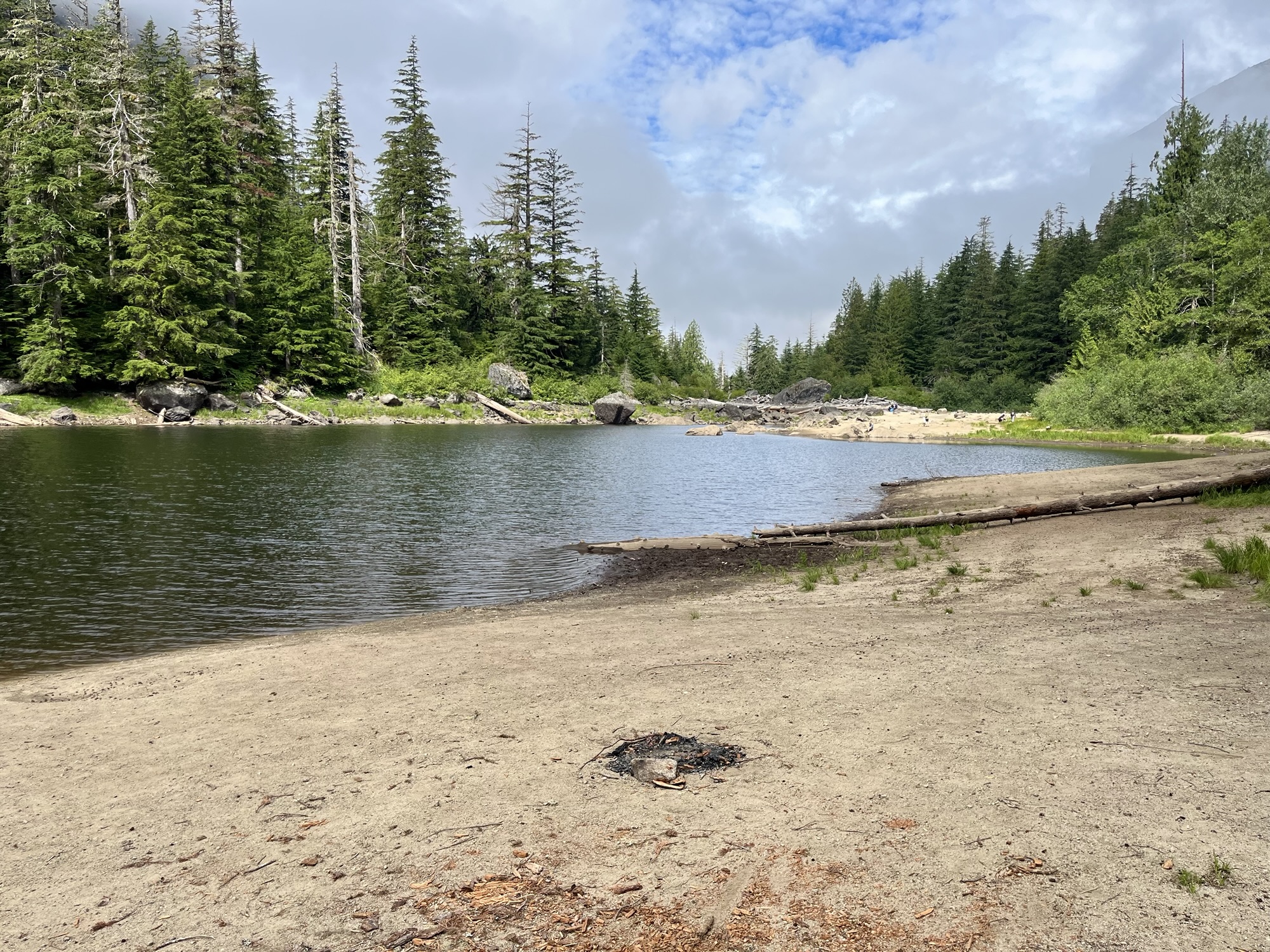
Despite some complaining from an opinionated youngster and frequent stops, we made it to the lake before long. The trail approaches the lake from its west bank where the shore is accessible and some of the land is fairly flat, sandy, and exposed, and some is dominated by logs and rocks. Barclay Creek exits the lake on this side.
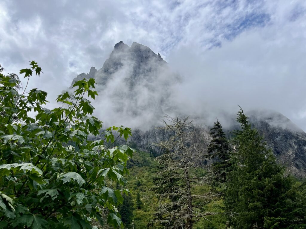
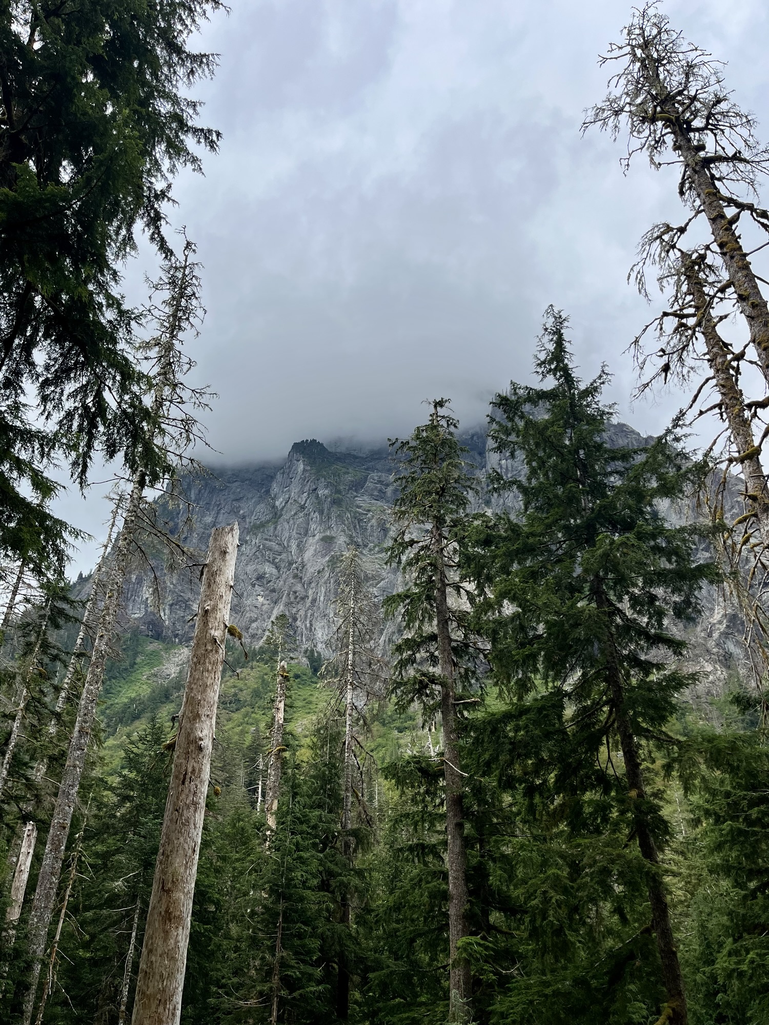
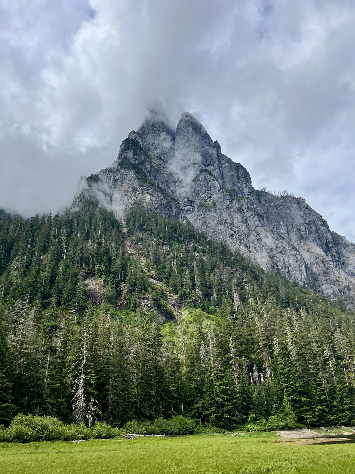
The trail continues east-south-east along the north bank of the lake opposite Baring Mountain, which is imposing and very cool-looking, its peak often obscured by misty clouds.
The trail passes by a beach-like shoreline — the surface being compacted sand and dirt, not soft, and angled down toward the water so not as flat as where the trail first encounters the lake. People fish here.
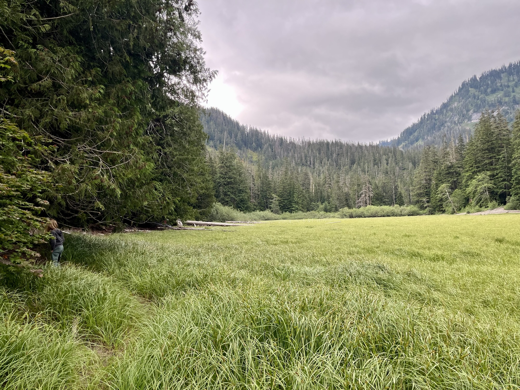
Keep following the trail past the lake’s east bank, where a wide grassy area begins. I don’t know what kind of grass it is but I imagine for most of the year it’s submerged.
All along the trail there are campsites, and they were filling quickly before noon. We walked a ways and found a site some distance past the lake next to the grassy area, with enough space for 4 tents. We set up our site and then found some things to do.
Note: this is National Forest Service administered land and there was one pit toilet we could find. Allegedly there was another one, but I only heard that from another camper who saw it on a map. That camper also said that another 2 toilets could be found farther down the trail, toward Eagle Lake. We walked for a ways but did not find those, and WTA suggests Eagle Lake is no longer accessible. As an aside within an aside, WTA says the trail to Eagle Lake is on private land but doesn’t explain what changed. I found some info about Eagle Lake and some morehere.
All that said, the one pit toilet existed and was… gross, but not like overflowing or shat-upon. My most recent pit-toilet memory is from the Pratt Lake area last year, and Barclay’s was worse than that — certainly odor-wise — but not like orders of magnitude worse. Given that Forest Service ranger staff were severely cut last year (the figure at the North Bend station was from over 20 rangers to 2 — Barclay is managed by Snoqualmie station so I have to assume they were screwed proportionally) it’s a miracle that it’s there at all.
That was quite a long aside. Why? Because, apart from finding a campsite, that’s the other thing you’ll be forced to deal with, depending on your metabolism or whatever. So be prepared and bring a shovel.
Moving on.
So much of backpacking is dealing with routine stuff like filtering water and cooking and cleaning up. Everything’s awkward and takes longer to do.
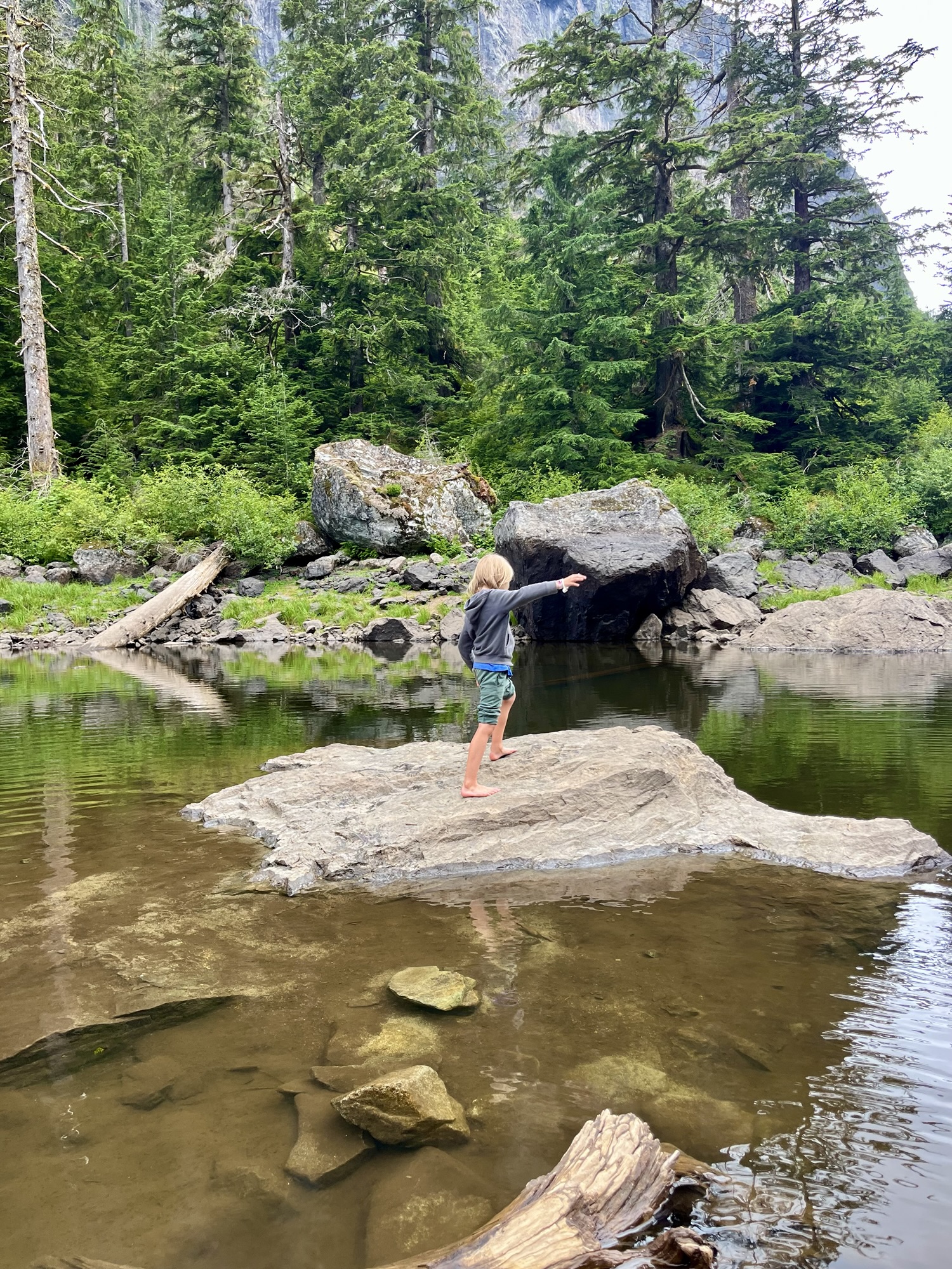
A number of us went back to the west side of the lake to hang out, explore the rocks and have dinner there. At some point I fell off a log and hurt my ankle a bit, so I went there also to wade into the cold water. The kids came too and we checked out the shore here.
Wading in, the shore was muddy, and weird — at points the shoreline drops off severely, and some treacherous rocks are hidden in it. The mud is sticky and slippery at the same time somehow. I guess that’s normal for mud? But it was of a consistency I find hard to describe, like it should have smelled of sulfur but didn’t. We found a relatively safe part of the shore and the kids had fun getting muddy.
Fire bans in effect, we boiled water with stoves (e.g. JetBoil) and made our camp dinners. Only staying one night freed up weight for some variety. My wife brought tortillas, cheese, refried beans in a tube and hot sauce. It might have been better if we’d put the refried beans tube into the boiling water, but cold it was ok. Our friends had Mountain House. We had an apple. There were snacks.
Then we all hiked back to the campsite and pretty much went to bed. Even though we’d hiked a ways past the lake we could hear campers on either side of us. Barclay Lake is popular.
I found a spot for our bear bag right near some bear cannisters that our neighbors had left out. My branch was not really very bear-proof but I think the main danger here is chipmunks.
The next day we boiled more water for oatmeal and coffee (note: the Trader Joes instant stuff that comes with cream and sugar is great) and took our time packing up. We took pictures and then left.
At some point while taking the kids on a walk my wife had hit her head against a fallen log. She was ok too but it’s a reminder that backpacking is not without risk. We had both been injured on this hike, though between wading in the cold water and some Aleve I myself was fine.
There’s only 500 feet elevation gain to Barclay and the trail goes down and up so you don’t really notice. Kids were much less complainy on the way back and we stopped way less often. We reached the trailhead, found our cars and left.
Overall I’d say Barclay was a very good option for a first family backpacking trip. We were lucky to have nearly perfect backpacking weather — somewhat overcast so not too hot but also not cold, and while it threatened to rain all that Saturday it really didn’t. Like barely.
It’s September already, I may as well mention the stuff I’ve been working on this summer. Here’s the first thing:
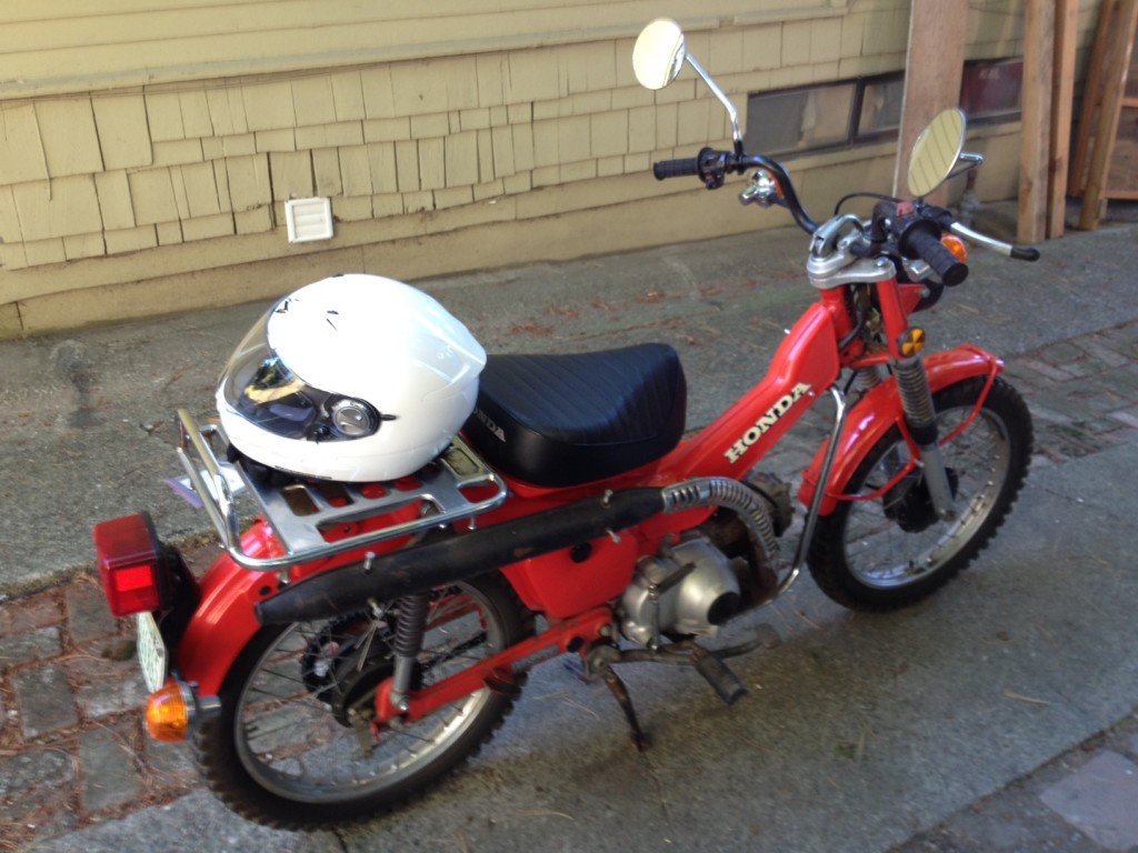
I’ll have a long wonky set of pages soon describing what this is all about, but to summarize I’ve been restoring a 1979 Honda CT90 and becoming a bike dude, within limits. So far it’s been a lot of buying parts and reading about solvents and oils and polishing creams.
The other project is less tangible, I call it “tour simulation.” It’s meant playing a lot of open mics and small shows mostly out of town, trying out my new songs and a selection of old ones that work well solo. It’s been fun. Tonight I’m in Centralia at the Hub, and a few weeks ago I was at Toorcamp. Check out my Sun Tunnels Facebook page to see photos from that, it was weird.
About a month ago, on April 24, I took a tour of the Hanford facility outside of Richland, Washington, and it was awesome.
Hanford is the most contaminated nuclear site in the country. It’s also the nation’s largest and most expensive environmental cleanup project. So why would anyone want to go there?
I myself went because the subject is fascinating to me, and because the hazardous waste is, if not quite contained yet, at least identified, and the tour guides keep you well away from it. Other people on the tour seem to have had various reasons for going. I detected anti-government/anti-tax skepticism, patriotic historical curiosity, and a couple of people who were there because they live in Richland and had never been.
Unfortunately, and for reasons that were never made clear, the DOE doesn’t allow photography on the tour. We had to leave our cell phones in the car, so I don’t have any pictures of the actual tour. This was lame on the one hand, but also not lame, as otherwise I would have been taking pictures all day and not actually seeing everything. It left me time to just look and take it all in. I’ll try to figure out words to describe it.
First of all, it was a nice warm sunny day. The tour bus leaves from a nondescript building on the southern edge of the Hanford site, a few miles Northwest of downtown Richland, after everyone has been signed in and made to watch the first of several DOE propaganda films about the history of the site and the cleanup effort.
To summarize: Hanford was a plutonium factory. That’s all it was for. From 1944 to 1989, the US government at Hanford made plutonium for America’s nuclear weapons arsenal, starting with the bombs detonated at Alamogordo and Nagasaki. The bombs themselves were made elsewhere. The plutonium was made here.
And it was made. You think of plutonium as an element, a substance to be procured from nature. Plutonium doesn’t exist in the Earth naturally, however, at least not in any practical amount anywhere it can be mined, so has to be manufactured. You do that by transmuting uranium. It’s like alchemy.
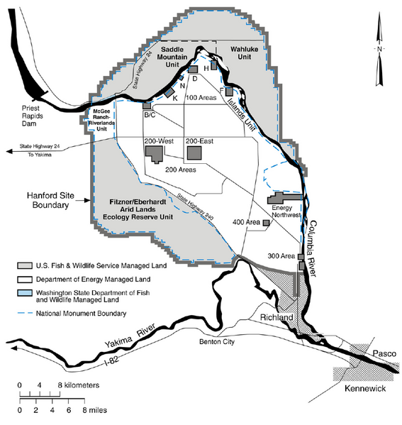
It’s also insanely messy. They started by processing uranium into a form that could be placed in aluminum fuel rods. That occurred at the 300 area, in the southeast corner of the site. Those rods then went to the 100 area — the reactors — placed at intervals along the Columbia river.
These were the first full-scale nuclear reactors, though they didn’t produce electricity. What the bomb makers were after was the tiny amount of plutonium that’s produced in a sustained uranium fission reaction. That this reaction also produces an enormous amount of heat was in fact a nuisance. 30,000 gallons of river water per minute were used to cool just one reactor’s fuel rods. This water contacted the rods directly, not through a series of heat exchangers as is the case in more modern reactors. As a result the water coming out was radioactive, and was left to stand in pools for some time (enough for the more volatile isotopes in the water to decay a bit) before draining back into the Columbia.
The irradiated fuel rods then went (carefully) to the 200 area, where the uranium and plutonium were separated in some godawful chemical voodoo that left behind insane amounts of contaminated waste for proportionately minuscule amounts of plutonium.
This went on for nearly half a century, in secret.
The manufacturing process and the waste are only part of the story though. Another, equally fascinating piece is how the site came together in the ’40s.
The site was picked because it had a lot going for it — lots of land, lots of water for cooling reactors, lots of electricity from the Grand Coulee dam, it was remote, and sparsely populated. The (mainly) farmers living in the towns of Hanford and White Bluffs were booted out, and thousands of workers brought in, who built the place in just 18 months. They had no idea what they were building.
The tour spans over 5 hours and takes you along the route of the plutonium manufacturing process (300 to 100 to 200), stopping at various sites for presentations from DOE employees and contractors about the site’s history and the cleanup effort. A large part of the tour centers on B-reactor, which was the first of the aforementioned 100-area reactors to be operational and is now a national monument. The last stop is just outside the vitrification facility, which is an enormous construction process in itself, though unlike the original Manhattan project is taking forever to be built. It won’t go online for another decade at least.
I’d say though that the best part of the tour is the insane contrast between the natural beauty of what is, for the most part, a very large tract of undeveloped land, and the poisoned industrialized bits scattered around the place. The history of the site, its purpose, the insanity of the Manhattan project, itself contextually located within the insanity of World War II, weighs heavily on the whole scene if you let it. Which I did, ’cause that’s how I roll.
You can sign up for tours at the Hanford/DOE website, and I recommend it. There are a limited number per year, only during the Spring and Summer. When registration opens it fills up pretty quick, but people seem to drop out periodically so it helps to check back often.
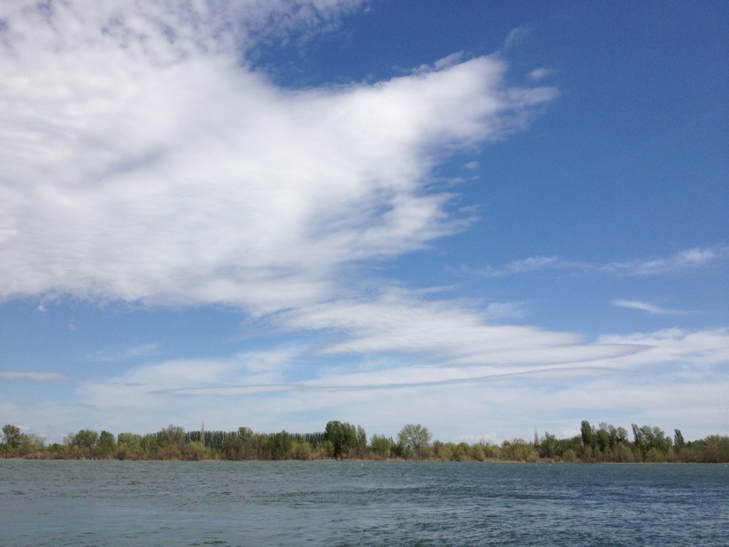
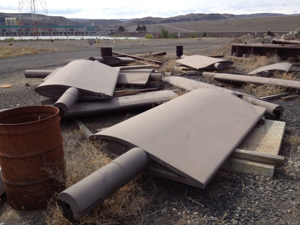
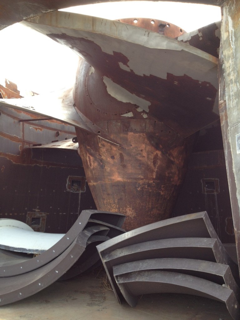
Of the things I was allowed to photograph, here are some.
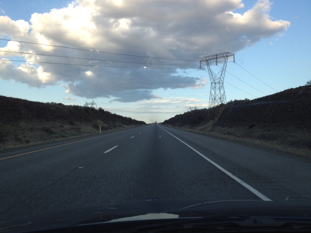
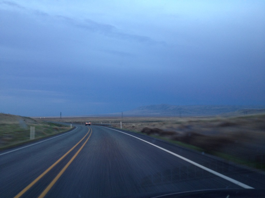
Firstly, the requisite road trip pictures. I take millions of these. The second shot is one I like to take most times I approach Vantage, of the place my VW Beetle broke down in ’98 on my way to the Gorge for Page/Plant. I’ll never forget.
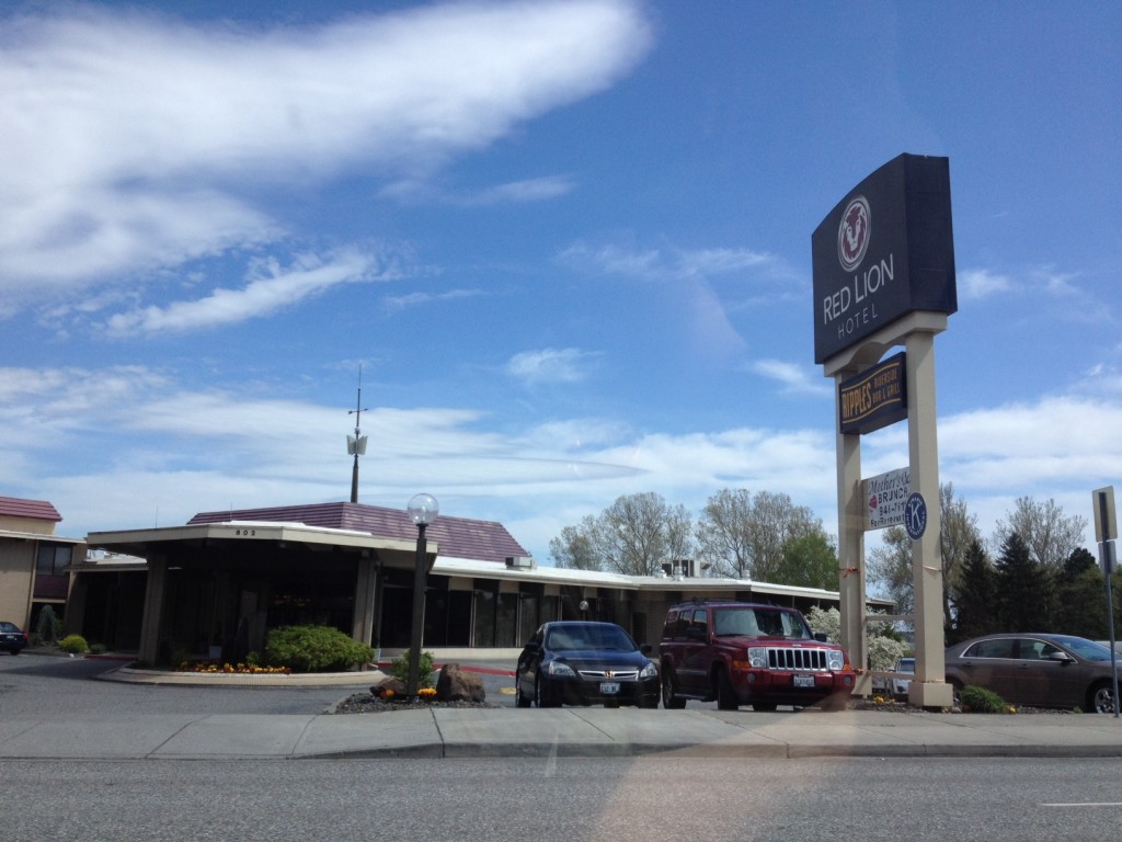
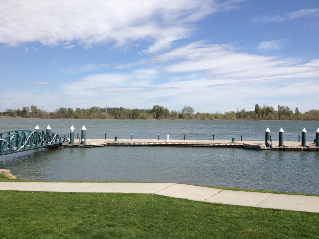
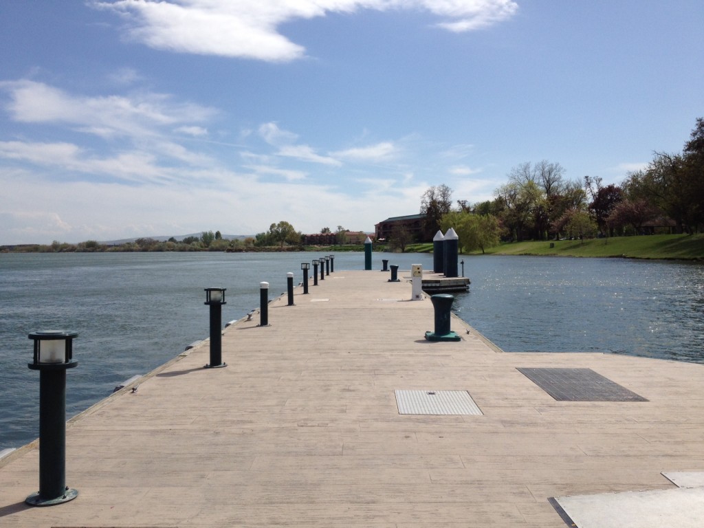
After the tour I went back into Richland and took a photo of the weirdly-shaped hotel I stayed at (from the air it would look like a question mark) and hung out at Howard Amon Park.